
What is GeoPackage?
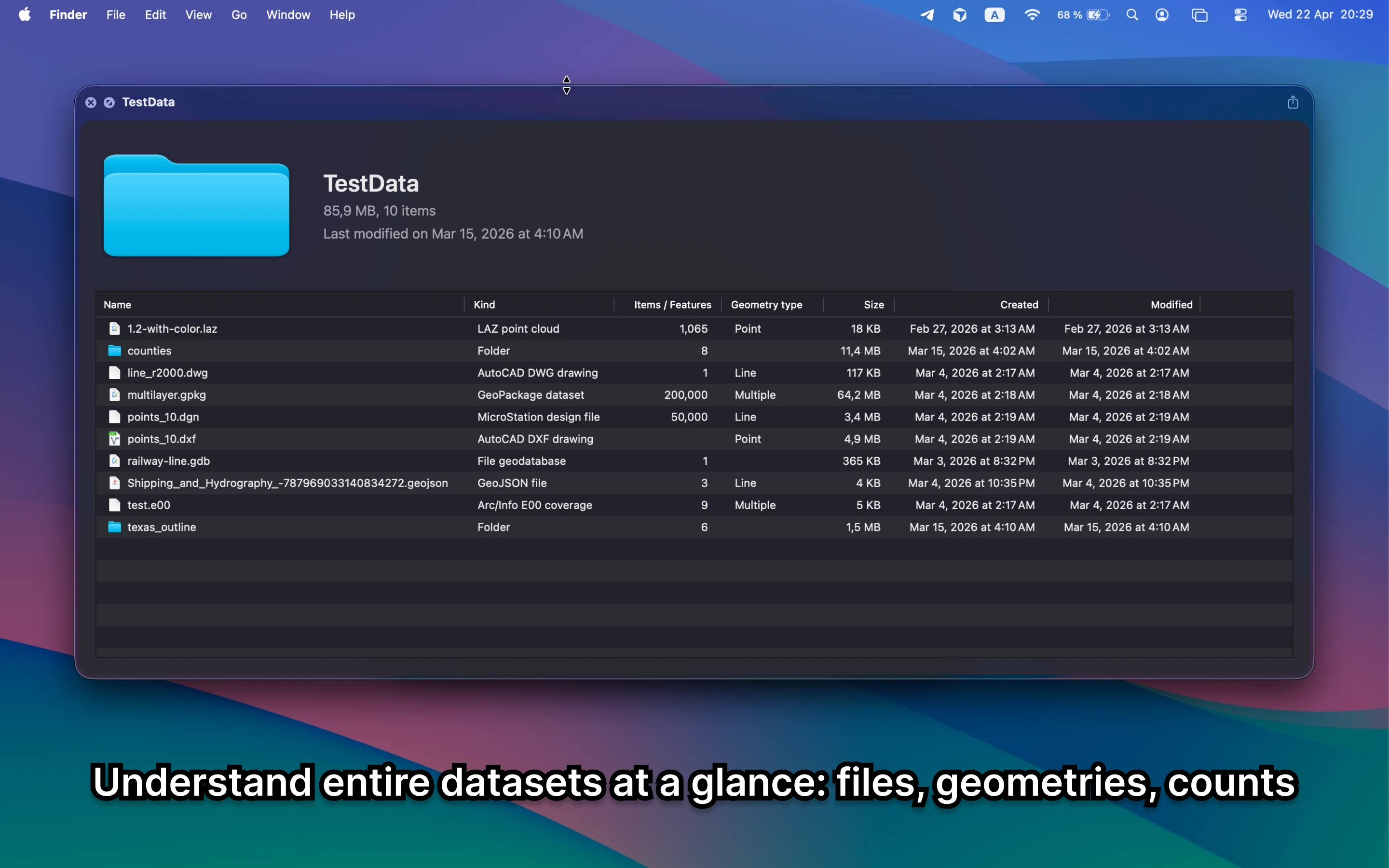
GeoPackage is a SQLite-based geospatial container. One file can hold multiple layers, tables, and metadata, which makes quick inspection especially useful.
Fastest way to open GeoPackage on Mac
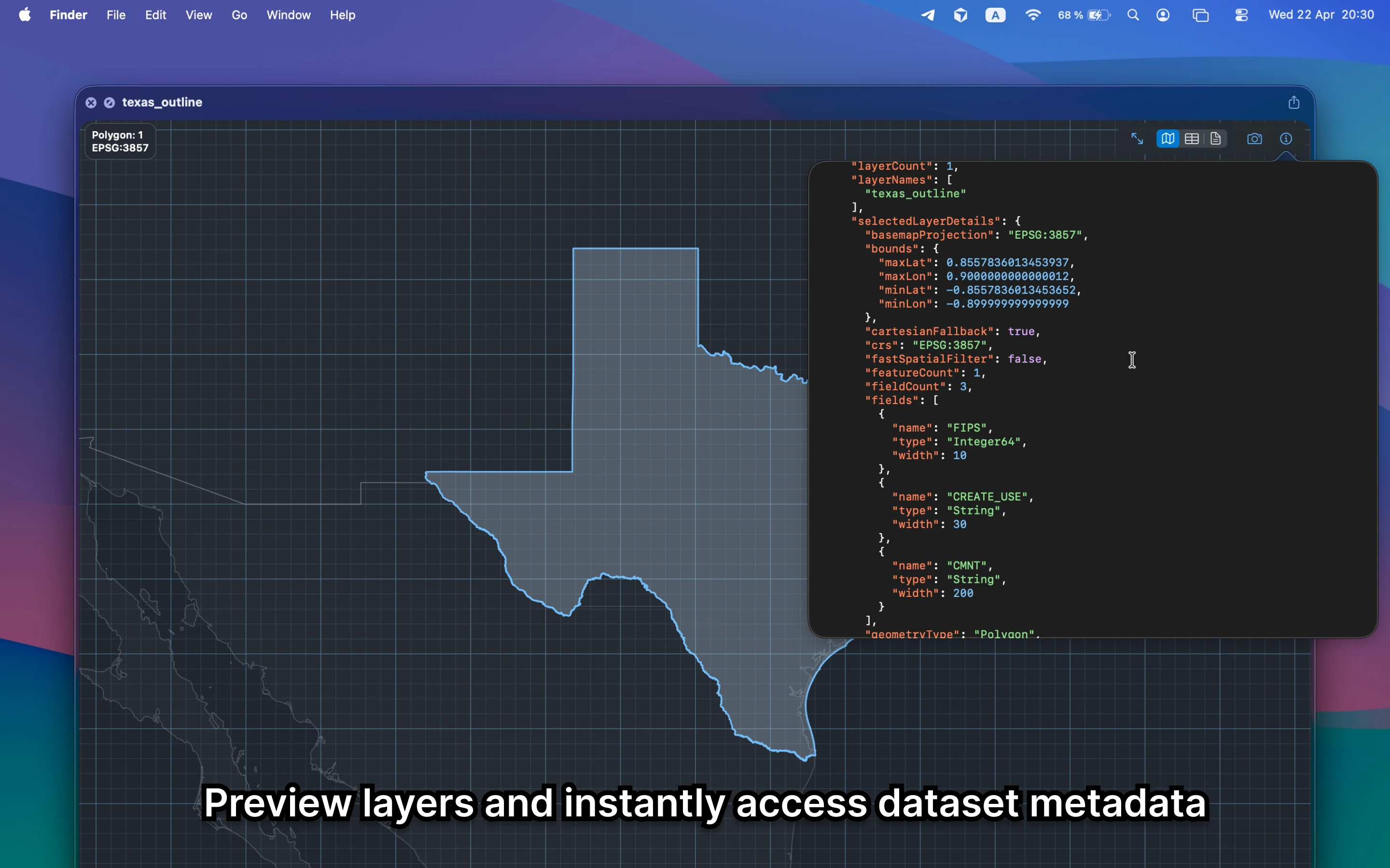
Select the GeoPackage file in Finder and press Space. GeoPreview shows the layers, map preview, and metadata right inside Finder, so you can understand the dataset immediately.
Quick check before you use the file
Before you send it on or open a bigger GIS project, GeoPreview helps you confirm:
- which layers are inside the dataset
- how many features you are actually looking at
- bounds, CRS, and dataset metadata before you export or share it
Alternative tools
QGIS and ArcGIS can open the same dataset, but they are slower when you only need to see the layers and metadata. Browser tools are also a poor fit for layered local files.
Need to convert or export it?
If you need another format, GeoPreview can handle supported exports after you confirm the layers and metadata in Finder. If export is not available for that dataset yet, you still get the fast preview first.