

What should a GIS file viewer on Mac actually do?
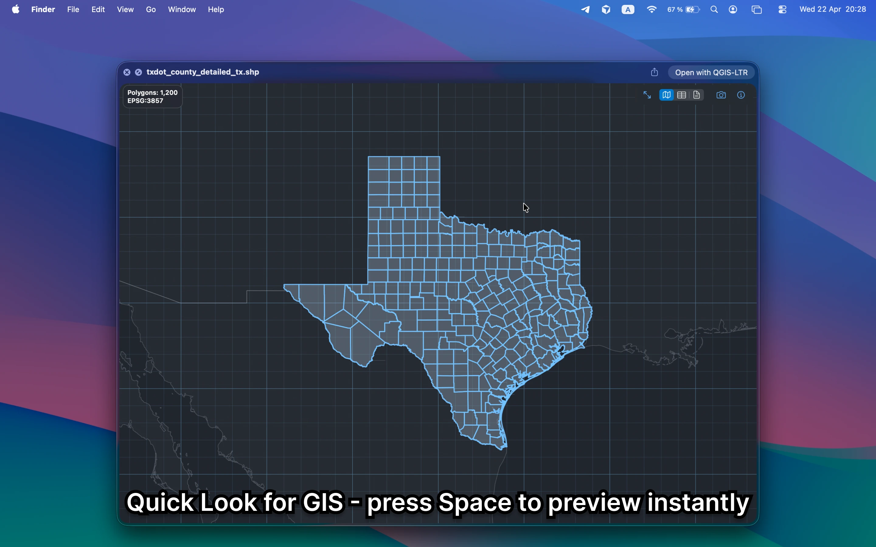
It should show the map, not just the filename. For quick review work, you want geometry, attributes, CRS, layers, and metadata without leaving Finder or uploading the file anywhere.
Fastest way to use Finder as a GIS file viewer
Install GeoPreview, select a supported file in Finder, and press Space. That is enough to see whether the file renders correctly, whether the attributes look right, and whether it is the dataset you need.
Quick check before you use the file
A useful Mac GIS file viewer should let you confirm:
- geometry and coverage before you open a project
- attributes, layers, and metadata in the same preview surface
- whether the file is worth sending into QGIS, ArcGIS, or a CAD stack at all
Alternative tools
QGIS and ArcGIS are the right tools when you need editing, styling, analysis, or deeper GIS operations. They are slower when the job is just to identify a file, check its contents, or validate a handoff.
Need to convert or export it?
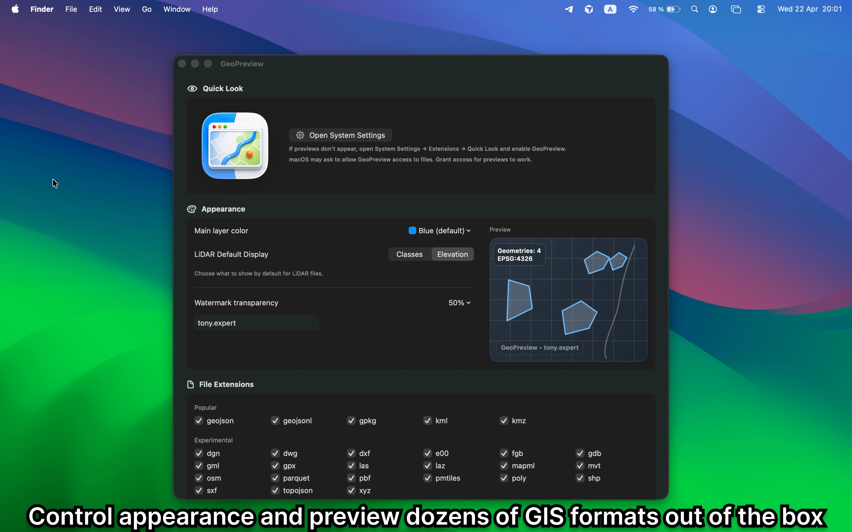
GeoPreview is built for a quick file check: open the file, inspect it, and decide what to do next. For supported files, it can also export directly from Finder.