

What should a GeoPackage viewer on Mac show?
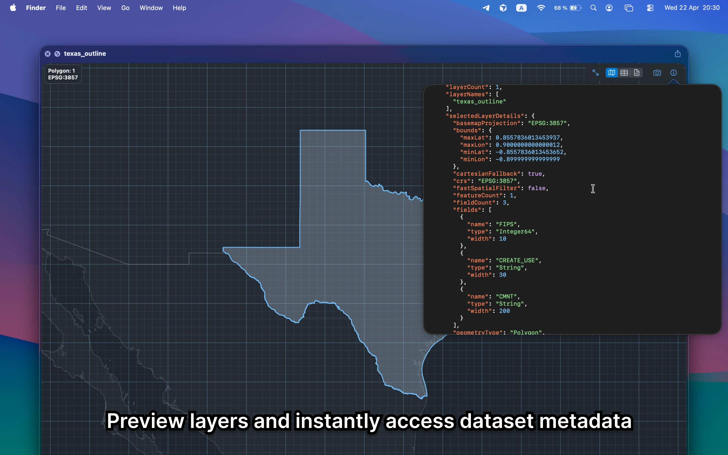
It should show the layer structure, map preview, attributes, and metadata that make a container file understandable. Finder alone only shows a filename, which is not enough for a layered dataset.
Fastest way to view a GeoPackage on Mac
Select the GeoPackage file in Finder and press Space. GeoPreview gives you layer-aware preview, metadata, and attribute context so you can decide what to do next before QGIS or ArcGIS enters the picture.
Quick check before you use the file
A useful GeoPackage viewer should let you confirm:
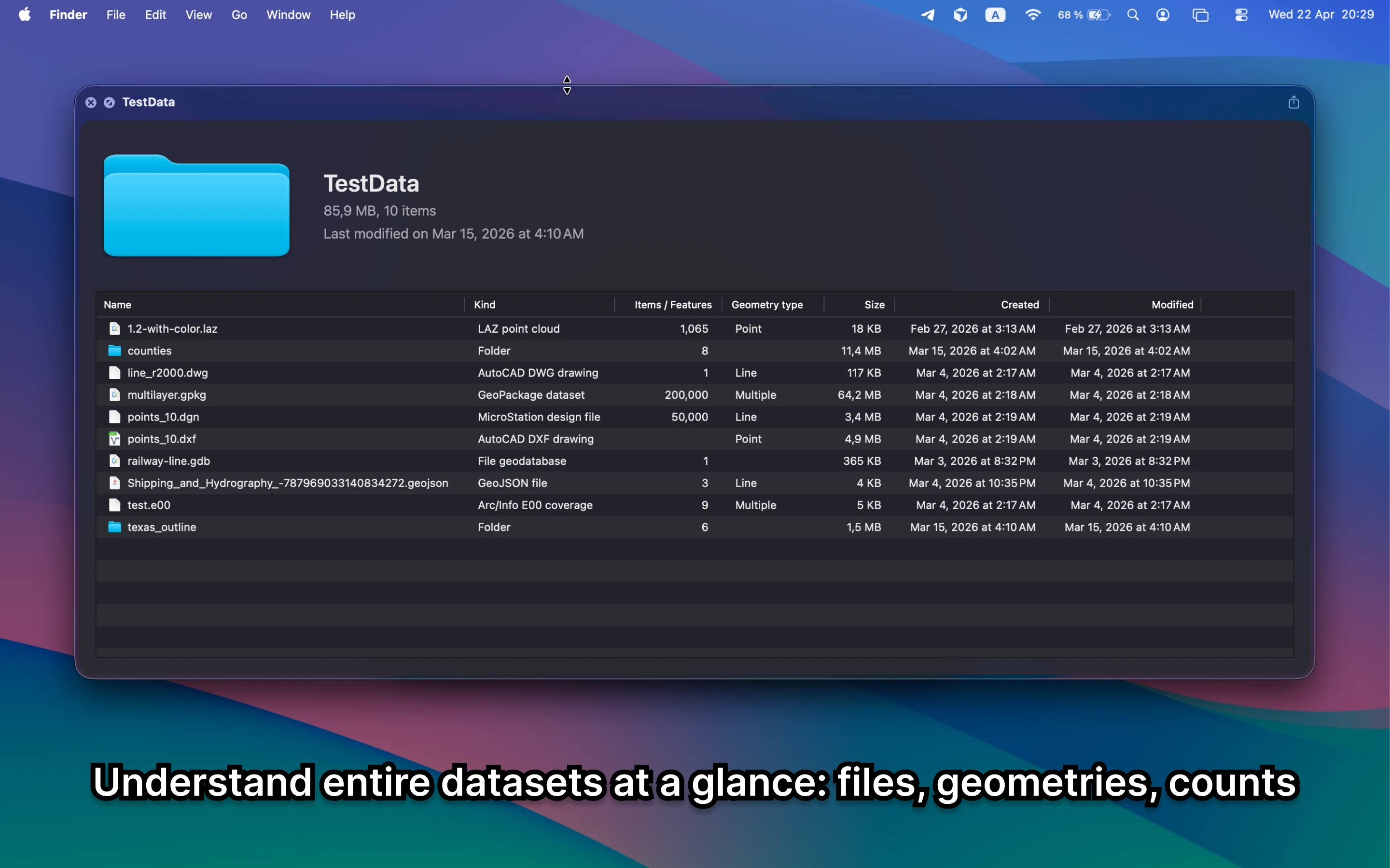
- which layers are inside the file before you open a full project
- counts, CRS, bounds, and metadata for the active layer
- whether the container is the right dataset before you export or share it
Alternative tools
QGIS and ArcGIS can both handle GeoPackage deeply, but that is still a heavier move when the task is only to inspect layers and confirm the file. GeoPreview is better for a quick check on Mac.
Need to convert or export it?
After the preview step, GeoPreview can also handle supported exports from Finder. That is useful when the container is correct and the next task is only a lightweight handoff.