

Why layer preview matters
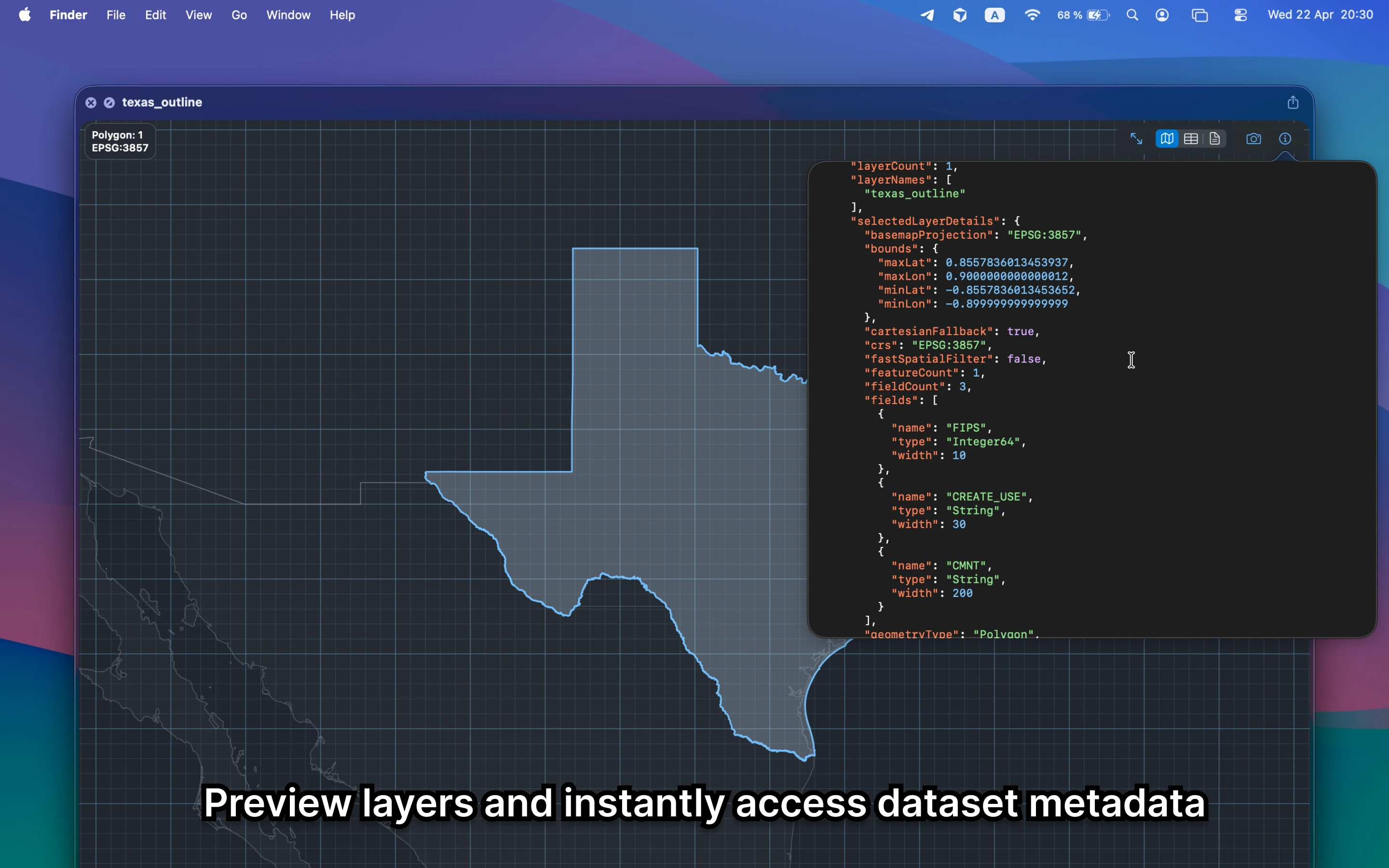
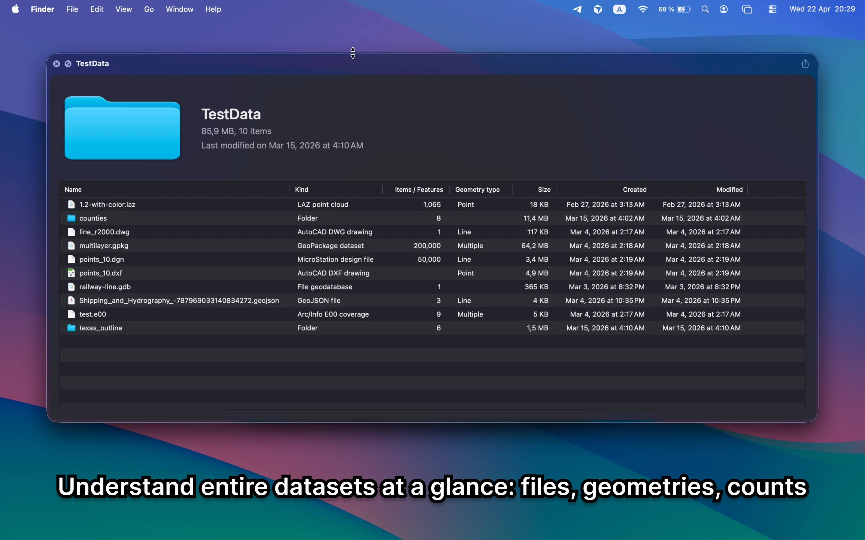
Multi-layer files and folder-based datasets are common in GIS handoffs. A good Mac workflow should let you see layer names, counts, metadata, and overall structure before you decide what to open next.
Fastest way to preview GIS layers on Mac
Use GeoPreview inside Finder. The app keeps the workflow local, shows layer-aware metadata, and lets you confirm whether the dataset is the right one before QGIS or ArcGIS even enters the picture.
Quick check before you use the file
For multi-layer datasets, confirm:
- which layers are actually inside the dataset
- counts, CRS, and basic metadata without opening a full project
- whether the active layer looks right before you export or share it
Alternative tools
QGIS and ArcGIS can inspect layers too, but they are slower when the task is only to identify the dataset or confirm which layer you need. GeoPreview is built for that quick check.
Need to convert or export it?
Layer-aware preview is a good lead-in to export. GeoPreview keeps supported exports close to the preview so you can confirm the dataset and move it forward without a detour.