


Why opening GIS files on Mac still feels slower than it should
Most of the time you do not need editing, symbology, or analysis first. You need to know what the file is, whether it renders correctly, and whether the attributes or layers look sane before you move deeper into a GIS workflow.
Fastest way to open geospatial files on Mac
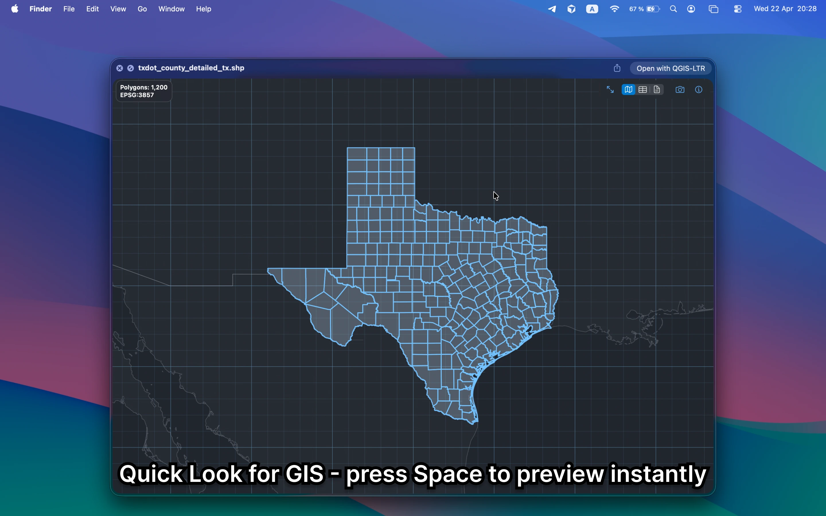
Install GeoPreview, select a supported file in Finder, and press Space. That turns the normal macOS Quick Look gesture into a real map preview with attributes, metadata, and layer context when the source supports it.
Quick check before you use the file
Before you move into a bigger GIS workflow, GeoPreview helps you confirm:
- geometry and coverage in a real preview instead of a generic icon
- attributes, layers, or dataset structure when they are available
- bounds, CRS, and other metadata before you open QGIS, ArcGIS, or CAD tools
Alternative tools
QGIS and ArcGIS are still the right tools when you need deeper analysis, editing, or cartography. They are slower than necessary when the task is simply to open the file, inspect it quickly, and decide what to do next.
Need to convert or export it?
If you need a different format, GeoPreview can handle supported exports directly from Finder. If export is not available for that file yet, you still get the instant preview and can continue with the right tool.