

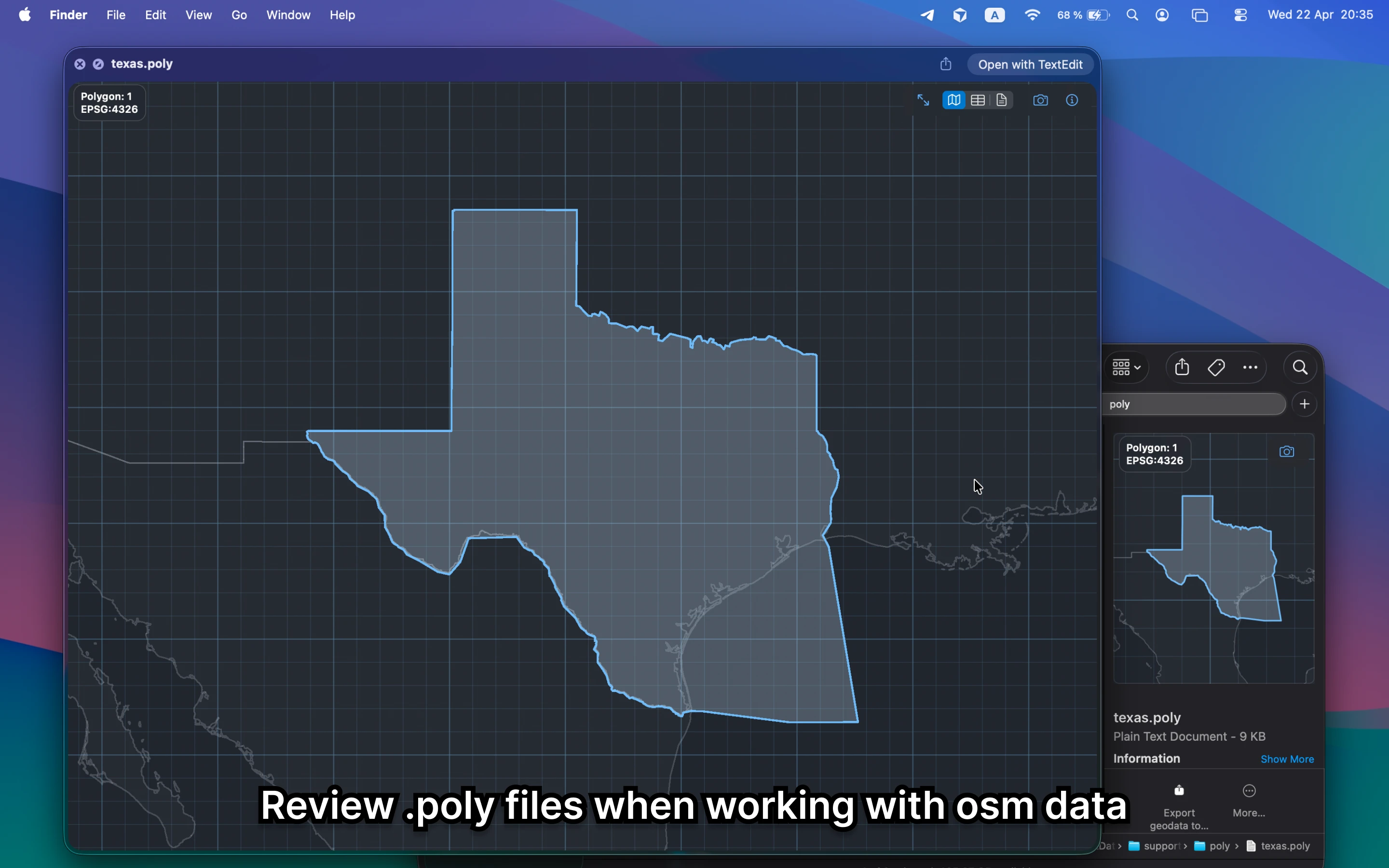
What is POLY?
POLY files describe boundaries in plain text, often for OpenStreetMap extracts. They are much easier to trust when you can see the boundary instead of reading coordinates.
Fastest way to open POLY on Mac
Select the POLY file in Finder and press Space. GeoPreview turns the boundary into a real map preview so you can confirm the shape immediately.
Quick check before you use the file
Before you send it on or open a bigger GIS project, GeoPreview helps you confirm:
- whether the boundary shape is the right one
- placement and extent before you run an extract or clip job
- basic metadata without reading raw text coordinates
Alternative tools
Text editors show coordinates, not the boundary. QGIS can open the file, but that is more setup than most quick checks need.
Need to convert or export it?
If you need another format, GeoPreview can handle supported exports after you verify the boundary. If export is not available for that file yet, you still get the shape preview immediately.