

Why attribute inspection matters
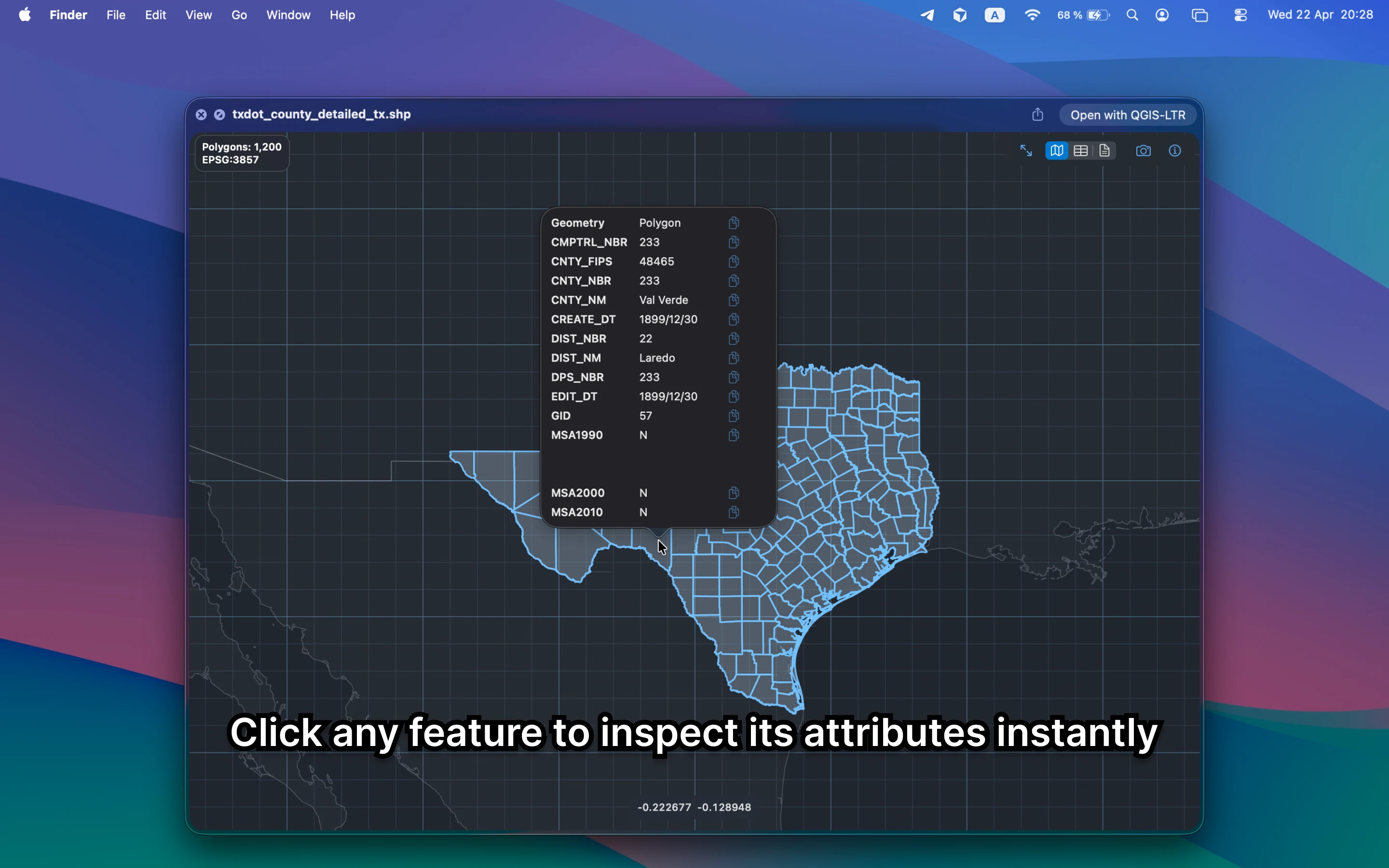
The file can render correctly and still be wrong. Fast access to fields, values, counts, and schema details helps you catch bad deliveries before they cost you time later.
Fastest way to inspect GIS attributes on Mac
Open the file in Finder, press Space, and click into the preview. GeoPreview shows the map and the data together, so you can confirm both spatial shape and attribute content without context switching.
Quick check before you use the file
For a fast QA pass, check:
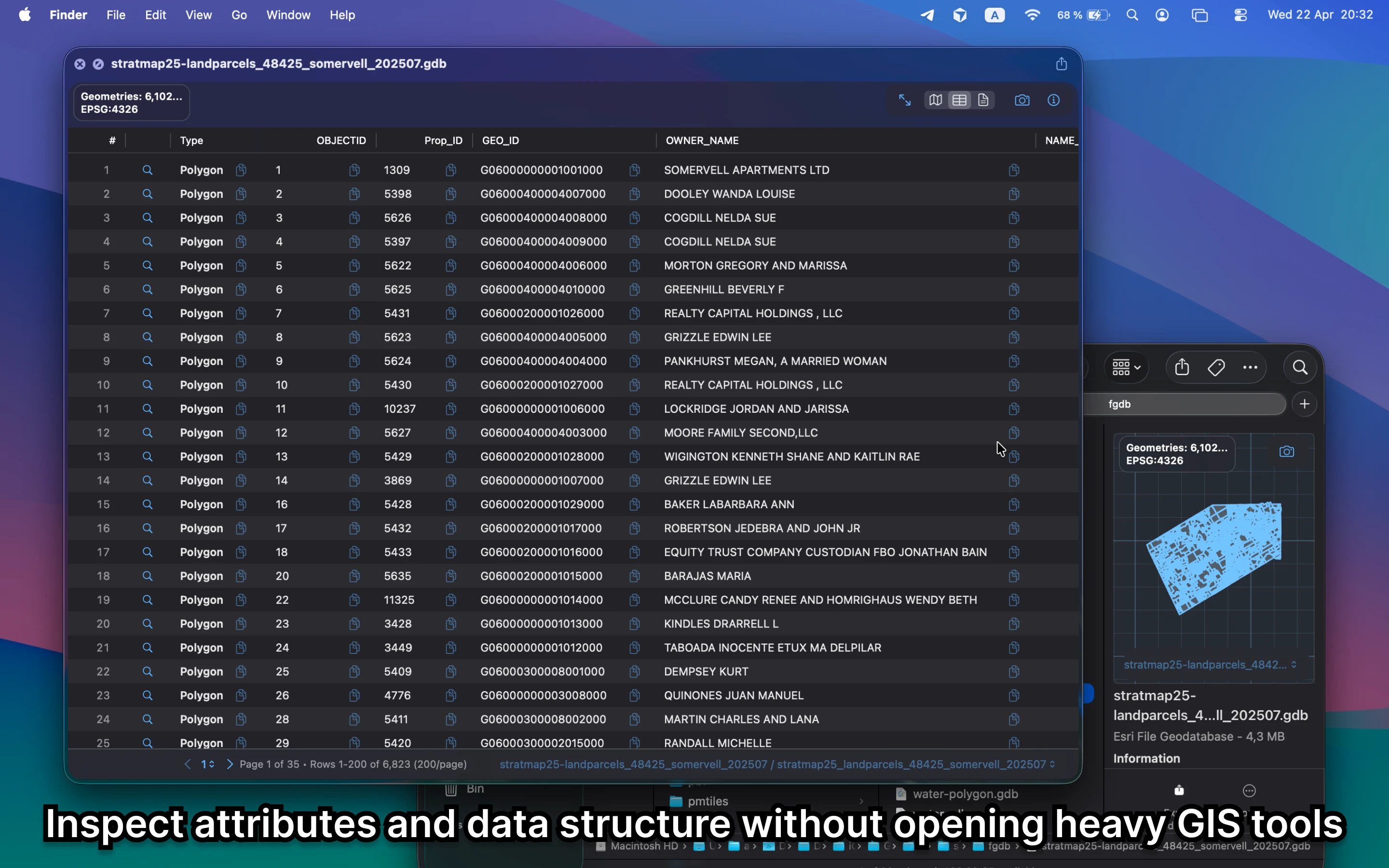
- feature fields and values without opening a separate table tool
- whether the schema looks complete enough for the next step
- geometry and metadata at the same time so the file makes sense as a whole
Alternative tools
QGIS is still valuable when you need bigger table edits or joins. For quick review, GeoPreview is faster because the table stays attached to the Finder workflow instead of forcing you into a full GIS project.
Need to convert or export it?
Once the attributes look right, GeoPreview can push compatible files into another format through Finder. That keeps simple export work close to the review step instead of forcing a full GIS session.