

What is LAS?
LAS is a standard point-cloud format for LiDAR data. It can be large and visually dense, so a fast preview matters even more than usual.
Fastest way to open LAS on Mac
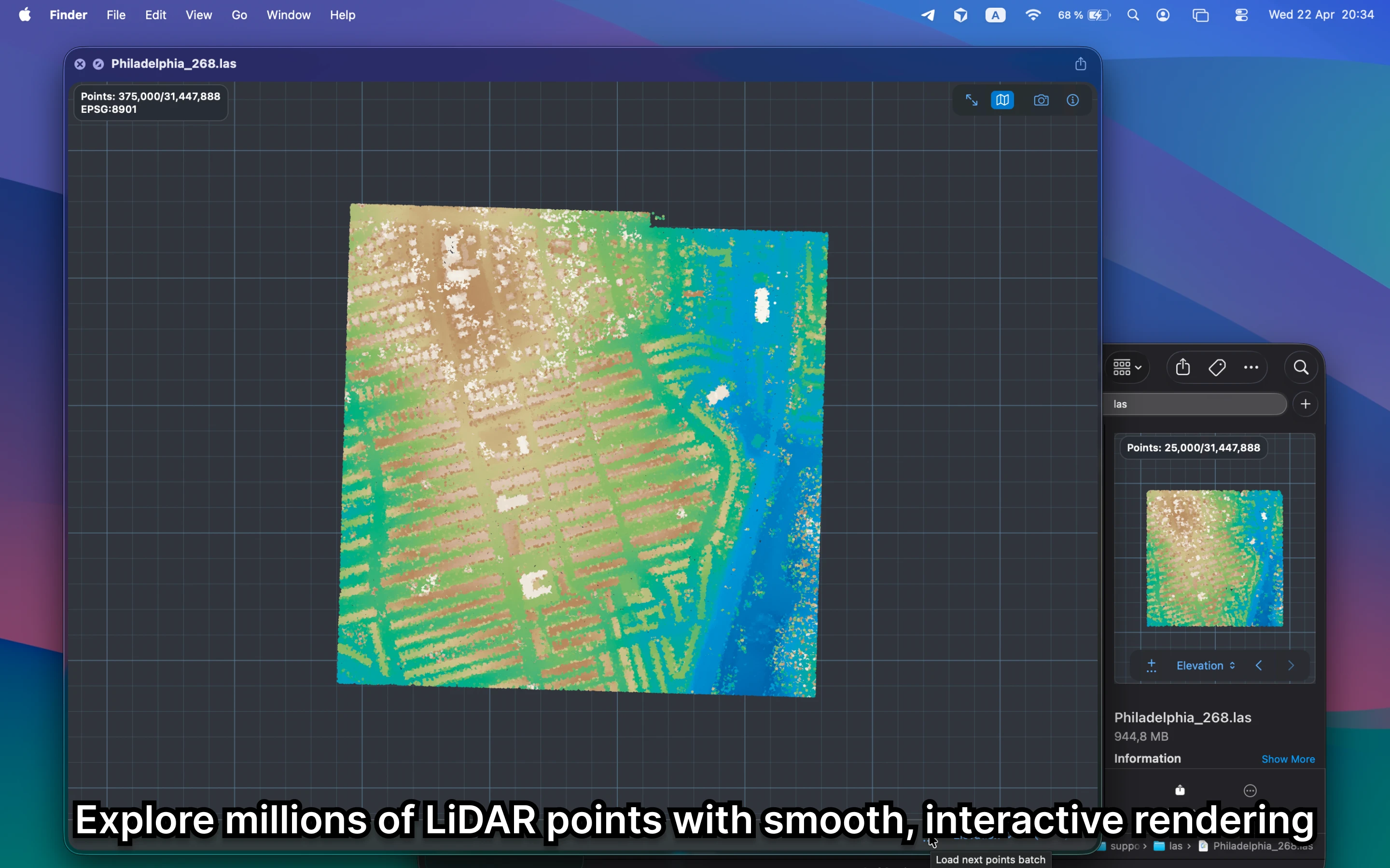
Select the LAS file in Finder and press Space. GeoPreview renders the point cloud so you can check coverage and basic metadata before opening a dedicated LiDAR tool.
Quick check before you use the file
Before you send it on or open a bigger GIS project, GeoPreview helps you confirm:
- coverage and rough density before you open a heavier point-cloud tool
- whether the preview looks sane in seconds
- metadata such as CRS and basic point counts right in Finder
Alternative tools
Dedicated LiDAR tools and full GIS apps make sense for classification, editing, and deeper analysis. For a quick preview, GeoPreview is faster and keeps the file local.
Need to convert or export it?
Preview comes first for LiDAR. If a supported export is available, GeoPreview keeps it in Finder; if not, you still get the fast point-cloud preview and metadata before moving into a heavier tool.